Navionics Platinum +
Navionics produces electronic charts for the leisure boating market, we dream up, develop, market and support products that we would use. We won’t settle for anything less. Navionics cartography database is the world's largest and includes oceans, seas, rivers and more than 38,000 lakes.
Navionics mission is to delight our customer by producing market leading intuitive and innovative marine cartography content and features through the use of creativity, engineering excellence through market knowledge and efficient production procedures.
Navionics charts are available in Navionics+ and Platinum+ options. Platinum+ charts include all the content of Navionics+, enhanced with additional viewing options, including Satellite Overlay with SonarChart Shading, 3D View and Panoramic Photos. Cards are available in Compact Flash and MSD options.
| Code | Image | Product Details | Enquire |
|---|---|---|---|
|
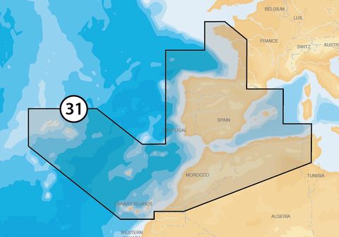
31P
|
|
MSD, Iberia
|
|
|
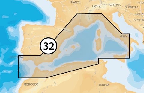
32P
|
|
MSD, Meditteranean West
|
|
|
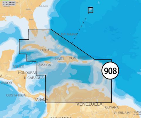
908P-2
|
|
MSD, The Caribbean and Bermuda
|
|
|
NPEU628L
|

|
MSD, UK and Ireland
|
|
|
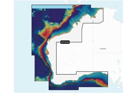
NPPC026R
|
|
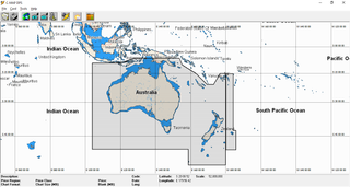
MSD, Australia North and West
|
|
|
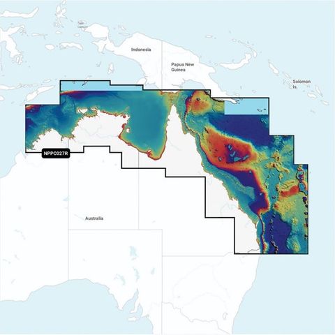
NPPC027R
|
|
MSD, Australia North and East
|
|
|
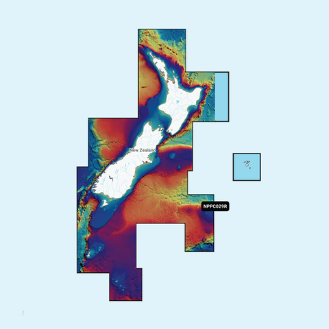
NPPC029R
|

|
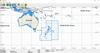
MSD, New Zealand
|
|

